We live in a disaster-prone area. High tide is a regular phenomenon here. This mangrove wall is our only shield from disasters,” says Thakur Das Burman, from Kalitala village in the Sunderbans (West Bengal), looking at the tree-lined expanse in front of him.
A mangrove is a shrub or small tree that grows in coastal saline or brackish water. These salt tolerant trees adapt to life in harsh coastal conditions and are found worldwide in the tropics and the subtropics. Sunderbans literally meaning ‘beautiful forests’ is a UNESCO world heritage site. It is the largest mangrove forest and the only mangrove tiger land on the globe. Despite the heavy use of the forest for timber, pulpwood and fuel wood, the Sunderbans continue to support a diverse fauna of 35 species of reptile, over 270 birds and 42 mammals including the last population of tigers inhabiting mangroves in the world.
This story of change was a chance discovery when Goonj first started to revisit some of the areas and review our work done over the last many years for this book. It was heartening to find that a small activity done some time ago, had, over the years, turned into a massive mangrove.
Sunderbans is a cyclone-prone area and there has been an increase in the cyclonic storms hitting the region in the past few years. When cyclone Aila hit in 2009, the waves crossed the heights of the embankment and entered the plains. Many people were badly affected by the shortage of drinking water and destruction of agricultural land, crops and property due to the cyclone. The growing intensity of extreme events in the Sunderbans, potentially due to climate change, poses a big challenge to the safety of the human settlements in the delta. In the last 30 years, approximately 7,000 people have been displaced from their original homes and islands in the Sunderbans, as a direct result of rise in the sea level, coastal erosion, cyclones and coastal flooding.
Kalitala is the last village on the Island Dulduli in the Sunderbans area of North 24 Pargana (West Bengal) on the banks of Kalindi river. Reaching this village from Kolkata city takes several tedious hours of travel involving almost 7 modes of transportation-from a train to a thela (cart rickshaw), to a boat journey. It was one of hundreds of villages, severely devastated by cyclone Aila. Like many other indigenous communities, the people of Kalitala have lived in harmony with their flora and fauna for generations. After cyclone Aila when the Goonj team reached there, we found this village totally isolated from all rescue and relief endeavors. The brick road in the middle of the village that intersected and connected the last embankment on the river Kalindi had been washed away by the cyclone. When the water receded, constructing this road emerged as an urgent need.
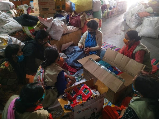
The people of Kalitala got together, collected the scattered bricks and started constructing a 1.5 kms motorable road, on their own mettle, as a part of Goonj’s ‘Cloth for Work’ (CFW). Now this road connects to crucial services like local Public Health Centre (PHC), local market, coaching center, school and also to the nearest drinking water source.
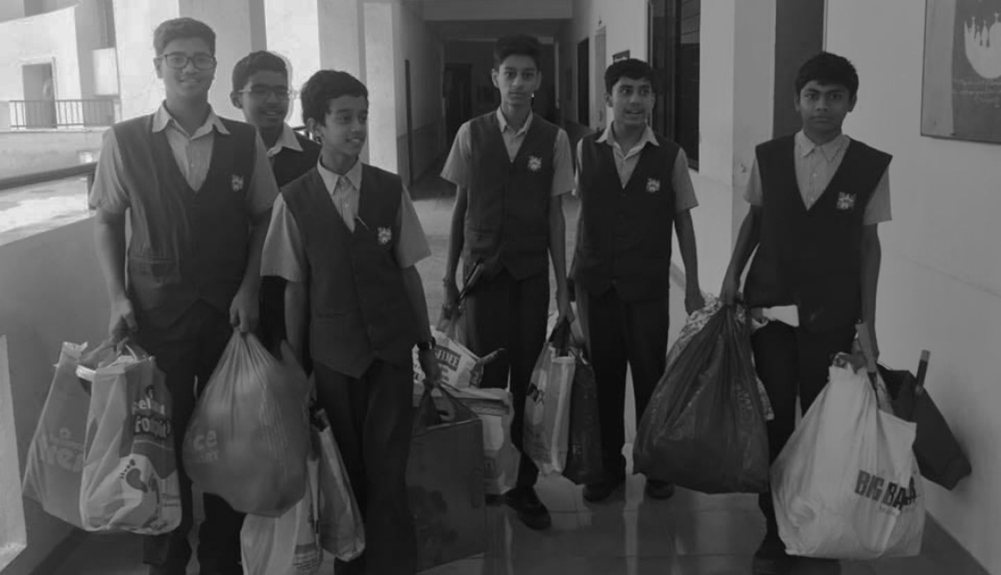
In 2011, as a part of Goonj’s rehabilitation efforts, 60-70 local villagers from this village were involved in planting mangrove saplings in the most susceptible part where cyclone Aila had hit. This is a tidal zone where the water level rises and recedes at regular intervals so the workers would wait for the sea water to recede to hurriedly plant the saplings before the tide came back and immersed this part under water. Three years later when our team visited the area to understand the impact of its work, the saplings had blossomed into a lush green mangrove.. a thick forest in the water spread over 100,000 sq. ft. as a strong protector of the village!!
Mangroves act as live sea walls and shields that can even reduce the wave energy of a tsunami by 75%. They are more effective than concrete wall structures against flooding/cyclones and everyday tides. The dense root systems of mangrove forests trap sediments flowing down rivers and off the land. This helps stabilize the coastline and prevents erosion from waves and storms. In the coming years, these trees will act as a shield to natural calamities like cyclones and floods protecting the habitat to a large extent. This forest will also contribute to the local economy apart from providing a safe sanctuary to various flora and fauna. Every year when our teams facilitate more than 3000+ hardcore development activities with village communities, each activity has the potential of bringing about a massive change on different issues across the country. This is perhaps one of the most practical way of bringing about a significant and sustained change in the world.